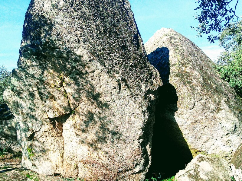
SL-CC 8 Little Finger Route
c/Altozano
https://api.inventrip.com/v100/image/92054?api_key=open-ideas-montanchez-%2A
Description
The route starts at the end of Altozano Street, next to the information panel. For the first few metres, it follows the same path as the Mills Route, until a signposted turn-off to the north. It continues along a track and then takes a trail that runs along the lower slopes of the mountain range. Further on, it turns left at a junction, heading south. Following the signs, it reaches the point of interest that gives the route its name. It then crosses the La Gargantilla area along narrow lanes between stone walls, gently descending until it finally reaches the access road to Arroyomolinos.
Image gallery